Cordillera Huayhuash
July 8-17, 2010
Back to South America 2010 index
Back to homepage
 When I spent
a month in Peru in 2007, I met several people who had just
done the Huayhuash trek, and everyone raved about it - the amazing
scenery, remoteness, and relative solitude put this on the "to do"
list for future trips.
After a hectic travel from Bolivia to Cuzco, and eventual
missed bus connection due to a 6 hour plane delay, we made it to
Huaraz on the night bus. I'll skip over the 8 hours we had to
spend in Lima, because they were quite uneventful, other than
being scared we'll get robbed as we walked down the streets,
and took cover in a couple of restaurants... (one of them,
football-inspired, complete with waxwork figures of Pele and Maradona
sitting on some tables!) - in reality, it wasn't that bad...
Arriving in Huaraz was nice, it felt significantly more developed than
when I was there in 2007...
We planned a 10-day trip through the
Huayhuash.
It was originally going to be just the two of us, plus a cook/arriero and
the donkeys carrying our stuff :) There were a couple of other blokes
(UK) interested in doing the trek that were staying at our hotel, and we
joined forces.
At 5am on the first day, we got on the bus to Llamac: the most common
start to the Huayhuash trek. The bus ride itself is memorable, as it
takes 5 hours and the last two are on a windy dirt road with a deadly
drop into the river gorge. That makes it a bit scary, combined with
the reputation and behaviour of South American drivers.
 Pretty quickly, we got into a routine: wake up around 6:30am each
morning, eat breakfast, pack up and start walking to the next place.
Most days, we arrived around lunch time, and took a nap. Unfortunately,
the weather wasn't the best, and almost every afternoon it rained or snowed.
One of the highlights was the day at the hot springs - there was a
pretty vicious hail storm in the afternoon, and it was great to enjoy it
from the comfort of the hot springs. After hailing and snowing all
night, we woke up to beautiful blue skies and hiked over Punta Cuyoc,
the highest pass on the trip - and the blanket of recent snow made it
extra beautiful. After we dropped down from that pass, we went up Passo
San Antonio, to check out the views of Siula Grande (of "Touching the
Void" fame). It was really cloudy, but we were lucky to get the
view before coming back down and continuing to our camp.
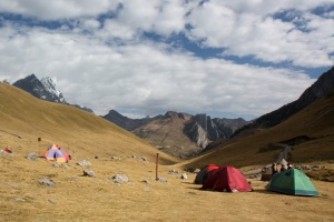
 Another highlight was our rest day spent at Laguna Jahuacocha where
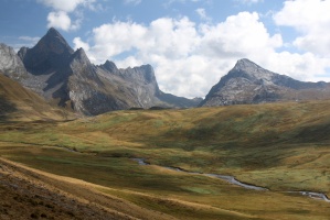
we had enjoyed relative solitude amidst the amazing mountains. In
general, the camping and walking was spectacular throughout the trip,
which was relatively short and action packed.
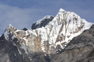
It would be great to have some more time and go back to climb some of
those peaks (I was scoping out a couple of lines with binoculars),
although the glaciers are extremely broken up and access is difficult.
Additionally, the global warming has melted much of the ice, and the
rock fall danger is significant. There are still reasonable options
available, but the altitude and access issues combined with the
seriousness mean that most climbers tend to go elsewhere (like the
much more accessible Cordillera Blanca).
I'll leave the rest of the story to the pictures, and in person. :) But
by far, the Huayhuash was the most relaxing part of this trip. And we
were sad to leave South America after this!
| |
 |
 |
 |
|
| |
|
The first day was long but gradual, about 1000 meters of gain |
|
| |
 |
 |
 |
|
| |
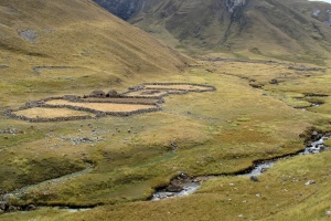
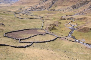
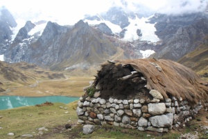
Lots of tiny communities like this throughout the Huayhuash |
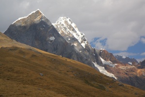
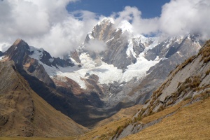
First glimpses of the mountains |
|
| |
 |
 |
 |
|
| |
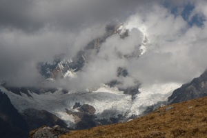
The storms came every afternoon, like clockwork |
|
|
| |
 |
 |
 |
|
| |
|
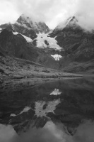
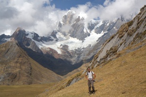
We camped in the lake under this mountain, and pretty much had it to ourselves. |
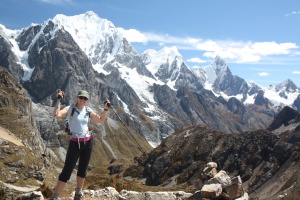
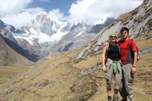
Sue and Alec, who we shared the trip with |
| |
 |
 |
 |
|
| |
The three guys in the centre were running to collect our money |
The clouds lifted for a bit... |
|
| |
 |
 |
 |
|
| |
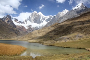
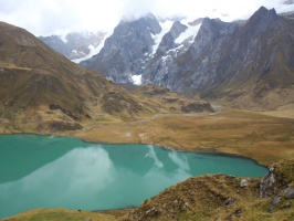
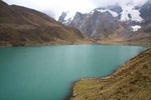
The lake we camped at |
|
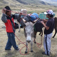
The donkeys did all the work |
| |
 |
 |
 |
|
| |
We did a little hike in the afternoon |
The next morning was snowy & then cloudy... this is Laguna Carhuacocha |
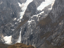
There was pretty regular serac fall from the glaciers |
| |
 |
 |
 |
|
| |
No subprime mortgage crisis here... |
On guard... |
If only the clouds would lift... This is our campsite view! Instead, it started raining... |
| |
 |
 |
 |
|
| |
|
|
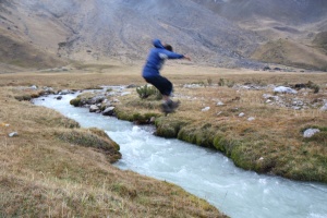
We had to cross this stream to go back to camp |
| |
 |
 |
 |
|
| |
|
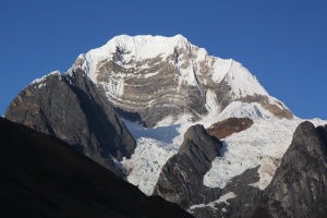
Sunrise |
Siula Grande (Joe Simpson's epic was on the other side, which we saw a few days later) |
| |
 |
 |
 |
|
| |
|
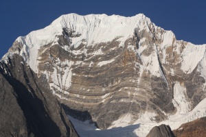
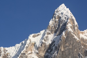
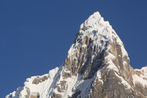
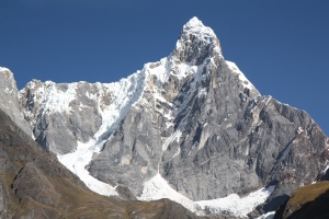
Jirishanca, with some wicked-looking mixed lines |
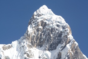
A close-up of the upper E face of Jirishanca |
| |
 |
 |
 |
|
| |
|
|
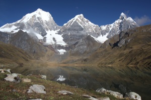
Clearly, could not get enough of this view as we walked around the lake |
| |
 |
 |
 |
|
| |
|
Jirishanca's SE face has some amazing potential for suffering |
Close-up of Jirishanca's upper face (check out the sick ice daggers!) |
| |
 |
 |
 |
|
| |
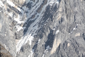
Jirishanca's middle SE face. Sweet-looking pillars of ice |
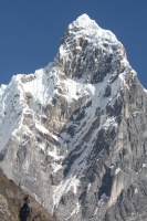
And the lower part - not that much ice |
The total picture of Jirishanca's SE face: what alpine climbers' dreams (and nightmares) are made of |
| |
 |
 |
 |
|
| |
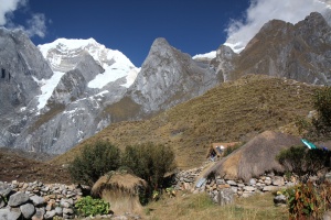
Some call this home |
Life here is not easy, but the view is amazing. |
|
| |
 |
 |
 |
|
| |
|
Caballo |
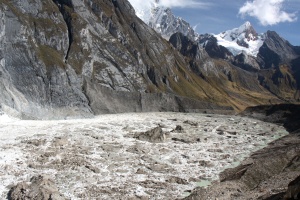
The glaciers disappear into the lakes at alarming rates |
| |
 |
 |
 |
|
| |
|
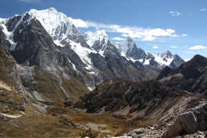
We got very lucky with the weather on this day |
|
| |
 |
 |
 |
|
| |
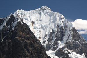
Yerupaja, 2nd highest mountain in Peru (very aesthetic!) |
Descending into the next valley |
|
| |
 |
 |
 |
|
| |
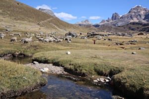
The community/camp of Huayhuash |
|
This was one of the only afternoons of nice weather, so we could wash up in the creek |
| |
 |
 |
 |
|
| |
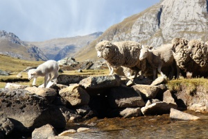
Woke up from a nap to the sound of some sheep crossing the creek behind our tent. The baby lamb hesitated for a while, and then committed. |
|
|
| |
 |
 |
 |
|
| |
|
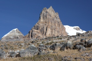
Supposedly, this thing has a great rock climb on it! |
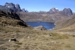
We stopped for lunch here, on our way down |
| |
 |
 |
 |
|
| |
|
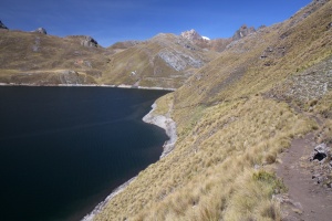
The trail goes around the reservoir (no hydroelectricity, but they use it for irrigation) |
|
| |
 |
 |
 |
|
| |
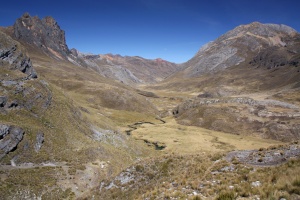
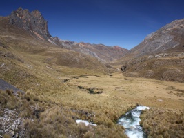
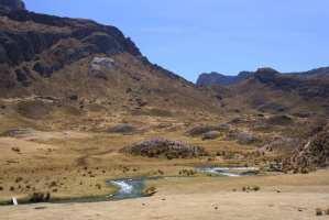
And down the next valley we go. The hot springs are about halfway down. |
The creek/waterfall was pretty wild |
|
| |
 |
 |
 |
|
| |
Our campsite (we pitched the tent right in the middle) |
|
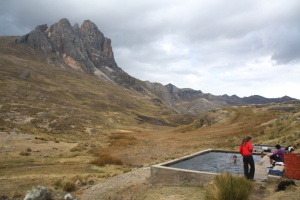
The hot springs. In about 20 minutes, all hail broke loose, so no more pictures. We spent hours there, while a few inches of snow accumulated around us. |
| |
 |
 |
 |
|
| |
It first hailed, then rained, then snowed all night (enjoyable from inside the hot springs!) |
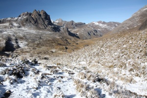
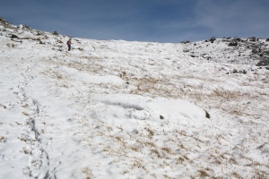
Looking back down the next morning, while hiking up the highest pass on the trek |
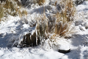
This grass is quite tough, to survive at this elevation! |
| |
 |
 |
 |
|
| |
|
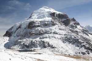
Punta Cuyoc (5000m) is in the middle |
|
| |
 |
 |
 |
|
| |
Cuyoc |
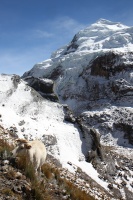
You can find cows all the way up to 5000 meters! |
|
| |
 |
 |
 |
|
| |
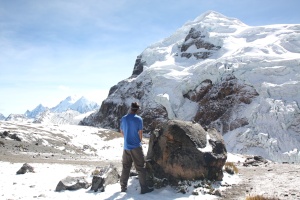
Almost at the pass! |
|
A pee with a view |
| |
 |
 |
 |
|
| |
|
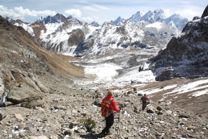
The other side of Punta Cuyoc: wow. Siula Grande visible... |
|
| |
 |
 |
 |
|
| |
|
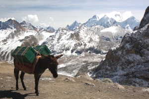
The unsung heroes of the Huayhuash |
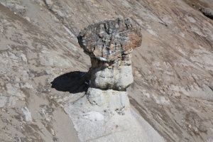
100ft tall rock mushroom |
| |
 |
 |
 |
|
| |
|
The donkeys making a mess out of the muddy scree slope |
Need scree skis! |
| |
 |
 |
 |
|
| |
|
|
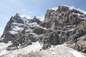
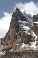
Apparently there is a 10-pitch 5.10 on the left rock buttress |
| |
 |
 |
 |
|
| |
A close-up of the rock climb |
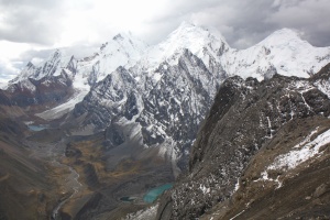
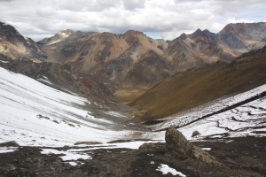
We hiked up to the top of Passo San Antonio as well (4850m), from the valley bottom (4300m). The snow & scree made it a bit of a pain, but the views were worth it. |
|
| |
 |
 |
 |
|
| |
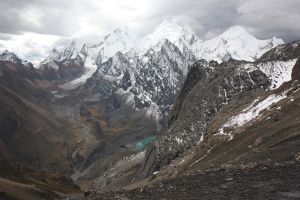
From right to left: Carnicero, Siula Grande, Yerupaja Grande, Rasac (from Passo San Antonio) |
|
Back down we go (Passo San Antonio) |
| |
 |
 |
 |
|
| |
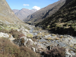
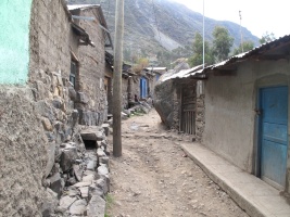
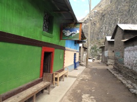
The next day, we went down to about 3300 meters, and the town of Huayllapa, where we bought avocados and tuna cans |
|
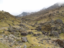
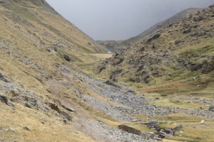
The village of Huayllapa (disconnected a few hours walk from the nearest dirt road!) |
| |
 |
 |
 |
|
| |
In the midst of the average-looking houses, there is this bright-green, modern "grocery store" |
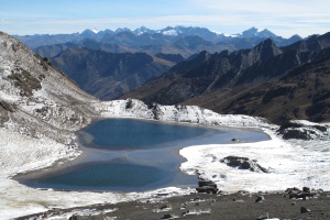
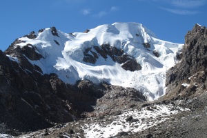
The rain is coming! |
Our arriero, Maurizio, had already setup the cook tent - yay! We sprinted there to escape the rain |
| |
 |
 |
 |
|
| |
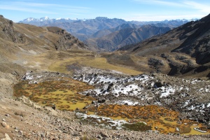
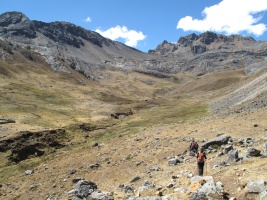
The next day dawned clear again. From the top of another pass... |
|
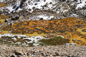
One of the (few) easier mountains to climb. We accidentally took the approach trail, before we realized it and cut back through the poisonous looking lakes! |
| |
 |
 |
 |
|
| |
OK to drink this water? |
Yum |
|
| |
 |
 |
 |
|
| |
|
|
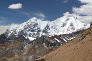
The final high pass of the trek is the notch in the distance |
| |
 |
 |
 |
|
| |
|
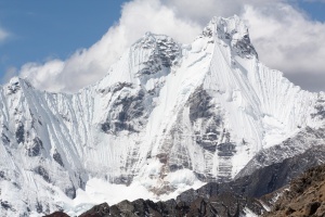
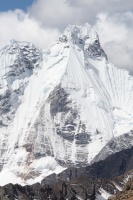
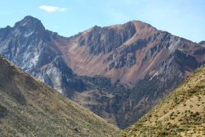
Wow. Jirishanca's other side is also spectacular... |
Jirishanca close-up for beta purposes :) |
| |
 |
 |
 |
|
| |
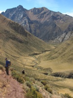
The valley bottom is a long way away, but it goes super fast |
Steep trail! |
Look closely and note the switchbacks: mining trucks drive there! |
| |
 |
 |
 |
|
| |
|
Our camp is on the lower left |
|
| |
 |
 |
 |
|
| |
|
|
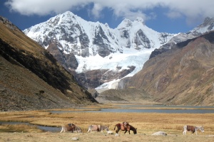
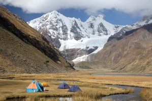
I couldn't stop taking pictures of this lake, but can you blame me? |
| |
 |
 |
 |
|
| |
|
Not a bad place to be a donkey! |
And not a bad place to be a human, either... |
| |
 |
 |
 |
|
| |
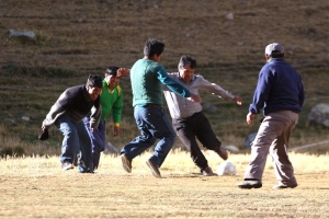
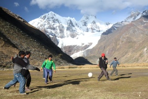
Soccer! |
Soccer field with best view in the world? |
|
| |
 |
 |
 |
|
| |
And the little sheep wanted to play! She was very attached to her owner who was playing, so kept running into the soccer ball |
|
|
| |
 |
 |
 |
|
| |
|
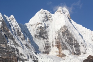
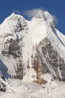
Jirishanca close-up |
Jirishanca |
| |
 |
 |
 |
|
| |
|
|
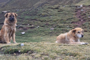
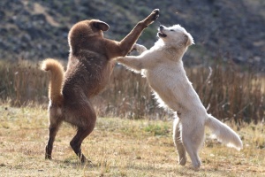
Friends or foes? A little hard to tell :) |
| |
 |
 |
 |
|
| |
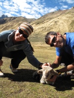
The sheep was tiny, and super cute! |
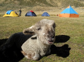
Cute overload! |
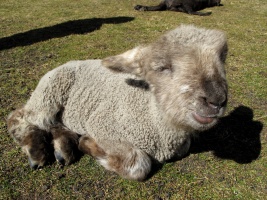
omg |
| |
 |
 |
 |
|
| |
|
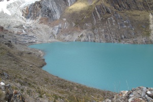
The lake at the base of the Jirishanca/Yerupaja glacier, a day hike we did on day 9 |
On the morning of day 10, we started hiking at 6am in order to make it back to Llamac in time to catch the bus |
| |
 |
 |
|
| |
|
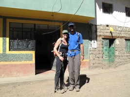
Done! Now where's the shower? (it's 6 hours away..) |
Previous Page
 Pretty quickly, we got into a routine: wake up around 6:30am each
morning, eat breakfast, pack up and start walking to the next place.
Most days, we arrived around lunch time, and took a nap. Unfortunately,
the weather wasn't the best, and almost every afternoon it rained or snowed.
One of the highlights was the day at the hot springs - there was a
pretty vicious hail storm in the afternoon, and it was great to enjoy it
from the comfort of the hot springs. After hailing and snowing all
night, we woke up to beautiful blue skies and hiked over Punta Cuyoc,
the highest pass on the trip - and the blanket of recent snow made it
extra beautiful. After we dropped down from that pass, we went up Passo
San Antonio, to check out the views of Siula Grande (of "Touching the
Void" fame). It was really cloudy, but we were lucky to get the
view before coming back down and continuing to our camp.
 When I spent
a month in Peru in 2007, I met several people who had just
done the Huayhuash trek, and everyone raved about it - the amazing
scenery, remoteness, and relative solitude put this on the "to do"
list for future trips.
 Another highlight was our rest day spent at Laguna Jahuacocha where
we had enjoyed relative solitude amidst the amazing mountains. In
general, the camping and walking was spectacular throughout the trip,
which was relatively short and action packed.
It would be great to have some more time and go back to climb some of
those peaks (I was scoping out a couple of lines with binoculars),
although the glaciers are extremely broken up and access is difficult.
Additionally, the global warming has melted much of the ice, and the
rock fall danger is significant. There are still reasonable options
available, but the altitude and access issues combined with the
seriousness mean that most climbers tend to go elsewhere (like the
much more accessible Cordillera Blanca).


