Tahoe flying, November 2013
November 1, 2013
Previous Page

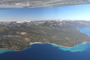
Flight tour over Lake Tahoe with our friends!

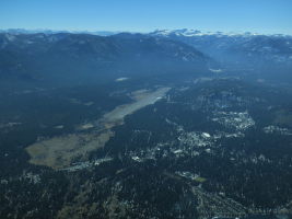
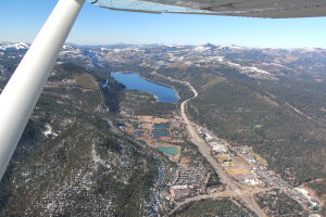
  Donner Lake and Truckee from the air West Shore  
  Donner Lake and Truckee from the air West Shore

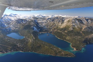
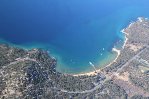
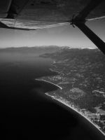
  Emerald Bay and Cascade Lake (left) from the air, while flying over Lake Tahoe Topaz Lake 182  
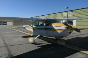
  Emerald Bay and Cascade Lake (left) from the air, while flying over Lake Tahoe Topaz Lake 182

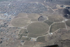
  Crop circles near Minden Monitor Pass from the air Zephyr Cove  
  Crop circles near Minden Monitor Pass from the air Zephyr Cove

  Spooner Lake  
  Spooner Lake

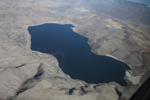
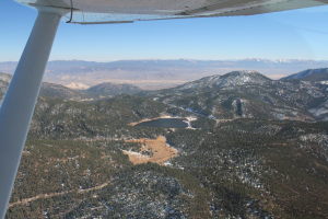
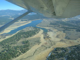
  The lake on the upper right is Lake Marlette. We went biked up to it soon after. The Flume Trail goes somewhere in there too. Prosser Lake - pretty low, they drain it expecting a big winter :) The agricultural inspection station on the bottom left (I-80)  
  The lake on the upper right is Lake Marlette. We went biked up to it soon after. The Flume Trail goes somewhere in there too. Prosser Lake - pretty low, they drain it expecting a big winter :) The agricultural inspection station on the bottom left (I-80)

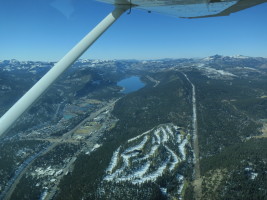
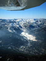
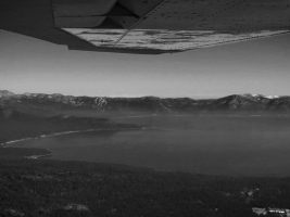
  The local Tahoe Donner golf course, and Donner Lake in the distance Squaw Valley with highway 89 below. Some smoke from a prescribed burn... Lake Tahoe from the air  
  The local Tahoe Donner golf course, and Donner Lake in the distance Squaw Valley with highway 89 below. Some smoke from a prescribed burn... Lake Tahoe from the air

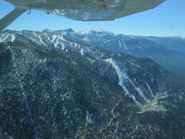
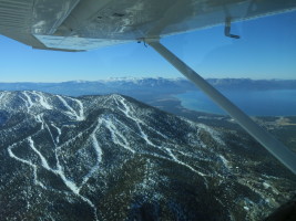
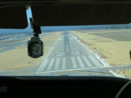
  South Lake Tahoe airport East Shore of Lake Tahoe The Nevada side of Heavenly (Stagecoach)  
  South Lake Tahoe airport East Shore of Lake Tahoe The Nevada side of Heavenly (Stagecoach)

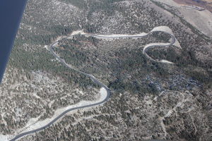
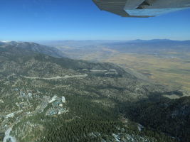
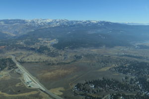
  Kingsbury grade and the Carson Valley Highway 89 / Woodfords Heavenly/Nevada side  
  Kingsbury grade and the Carson Valley Highway 89 / Woodfords Heavenly/Nevada side

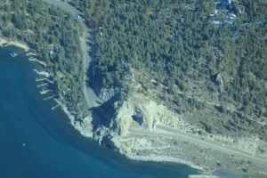
  Cave Rock on the East Shore of Lake Tahoe Familiar sight! sweet 182  
  Cave Rock on the East Shore of Lake Tahoe Familiar sight! sweet 182

Previous Page