Flying to Sedona
October 10-13, 2014
Previous Page
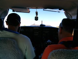
First long cross-country and the first longer flight in the plane
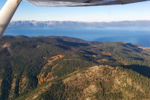
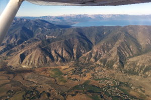
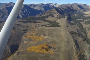
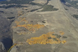
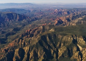
for Melissa! It was super calm on Friday so we flew down the East
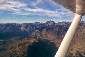
Side of the Sierra, taking the opportunity to enjoy the scenery and
snap some photos. Some nice fall color! We stopped in Bishop to
stretch our legs and continued onto Sedona via Death Valley and
going just south of Vegas.
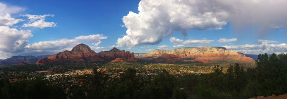
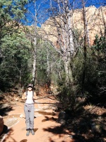
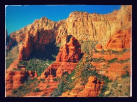
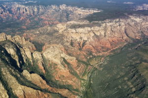
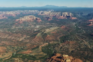
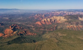
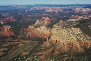
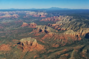
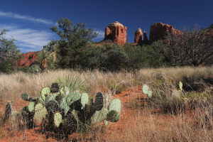
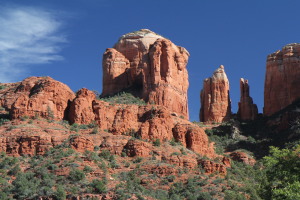
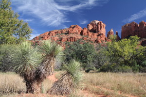
We met up with my parents in Sedona and had a great time touring
around the great scenery, also going for a nice scenic flight on
Sunday! We were planning on staying there until Tuesday originally.
but unfortunately the weather was changing so we had to return on
Monday. We departed Sedona around 12:30pm and made it home, going
over the Grand Canyon and then directly through Nevada. We had about
10-15 knots of headwind most of the time so that delayed us a bit,
but it was smooth going! Very interesting (and desolate) land there...

| |
 |
 |
 |
|
| |
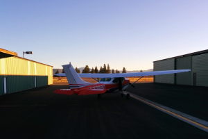
Out and ready to go! |
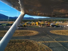
Taking off from Truckee! |
|
| |
 |
 |
 |
|
| |
|
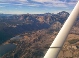
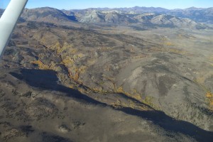
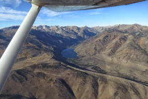
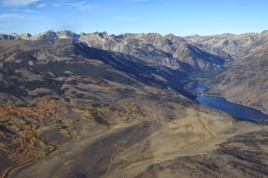
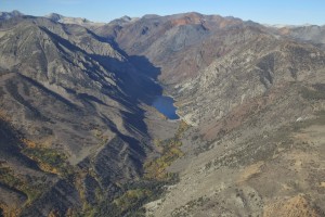
Twin Lakes by Bridgeport |
Twin Lakes |
| |
 |
 |
 |
|
| |
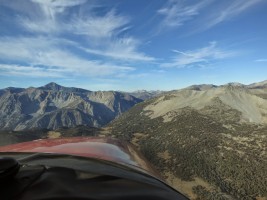
Lundy Lake? |
|
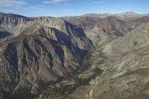
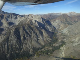
Going to check out the Third Pillar |
| |
 |
 |
 |
|
| |
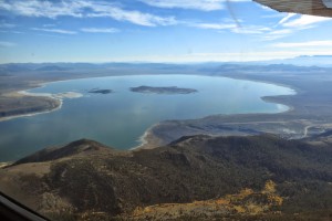
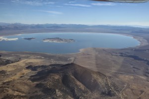
Mono Lake! |
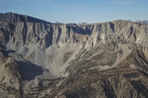
Third Pillar and Tioga Pass |
It doesn't get any more beautiful than this! |
| |
 |
 |
 |
|
| |
Third Pillar in the foreground with even Cathedral Peak in the background! |
The iconic Third Pillar of Dana |
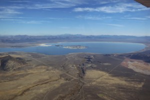
More Mono Lake |
| |
 |
 |
 |
|
| |
Mono Lake and highway 395 |
|
|
| |
 |
 |
 |
|
| |
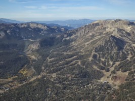
Mammoth. We've climbed on the ridge on the left and the ski hill is on the right. |
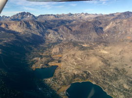
June Lake & Silver Lake |
Rock Creek? |
| |
 |
 |
 |
|
| |
|
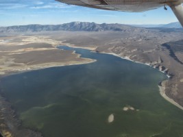
Crowley Lake |
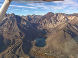
Convict Lake |
| |
 |
 |
 |
|
| |
|
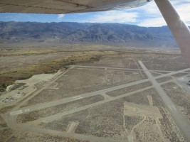
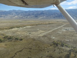
Bishop airport |
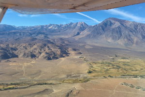
Owens River Gorge |
| |
 |
 |
 |
|
| |
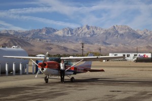
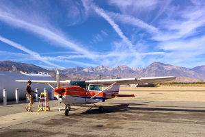
Bishop! |
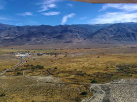
highway 395 with the awesome mountains to the west! |
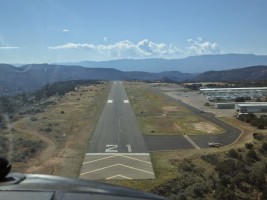
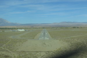
Landing in Bishop, runway 30 |
| |
 |
 |
 |
|
| |
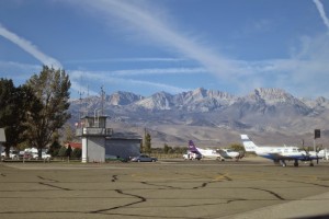
Bishop is surrounded by some big mountains! |
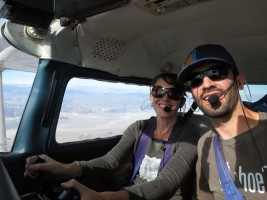
Melissa and Stanley |
|
| |
 |
 |
 |
|
| |
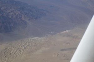
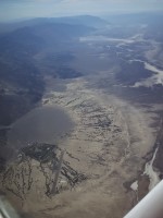
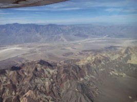
Somewhere over Death Valley |
|
|
| |
 |
 |
 |
|
| |
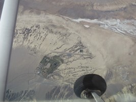
Stovepipe wells airstrip, Death Valley |
Furnace Creek, Death Valley |
Furnace Creek airstrip below :) |
| |
 |
 |
 |
|
| |
|
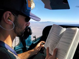
Trying to pick up flight following |
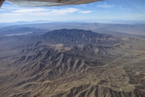
Clark Mountain, SW of Vegas |
| |
 |
 |
 |
|
| |
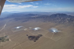
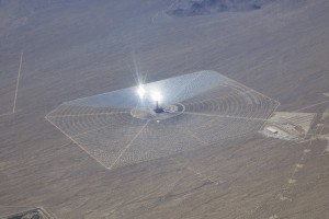
Solar farm next to Clark Mountain |
|
Lake Mohave / Colorado river |
| |
 |
 |
 |
|
| |
|
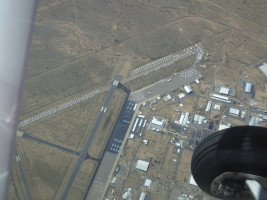
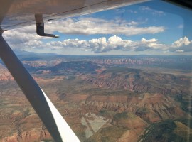
Kingman airport. No idea why there were so many large jets parked there!? |
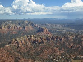
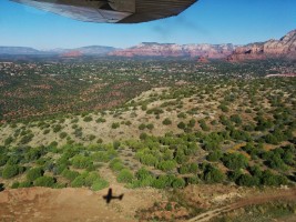
Approaching Sedona |
| |
 |
 |
 |
|
| |
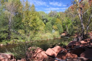
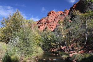
Oak Creek south of Sedona |
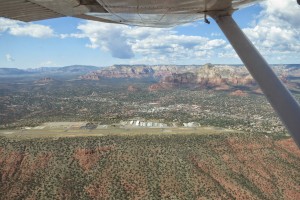
Sedona airport on top of the mesa |
|
| |
 |
 |
 |
|
| |
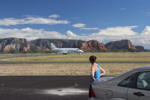
Melissa checking out the Citation |
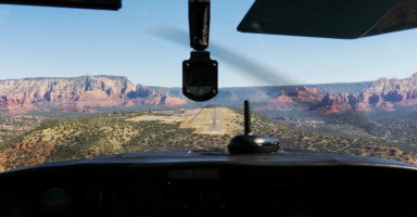
Setting up to land at Sedona |
|
| |
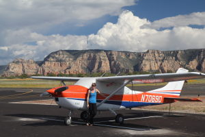 |
 |
 |
|
| |
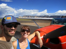
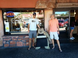
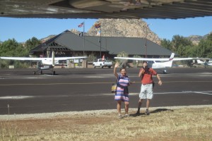
Melissa and Stanley in Sedona! |
|
|
| |
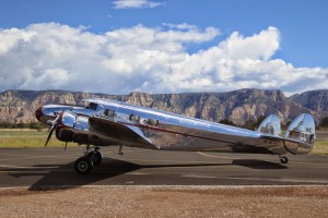 |
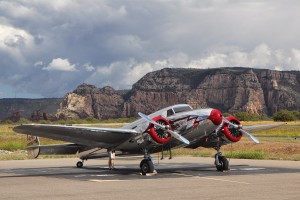 |
 |
|
| |
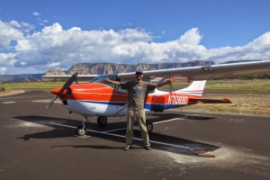
beautiful airplane! |
Gorgeous! |
|
| |
 |
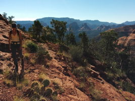 |
 |
|
| |
|
|
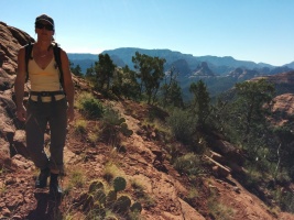
Not impressed with the bushwhacking we've done |
| |
 |
 |
 |
|
| |
|
Take-off from Sedona :) |
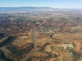
Sedona Pines |
| |
 |
 |
 |
|
| |
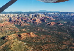
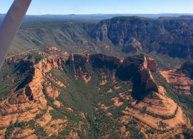
Humphreys Peak in the distance, 12,637' tall above Flagstaff |
|
|
| |
 |
 |
 |
|
| |
Departing Sedona on the way home |
|
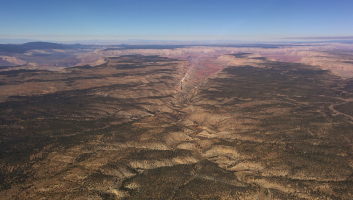
Colorado plateau, close to the Grand Canyon |
| |
 |
 |
 |
|
| |
|
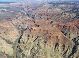
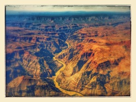
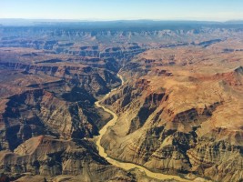
Grand Canyon! |
Grand Canyon! |
| |
 |
 |
 |
|
| |
|
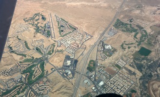
Mesquite airport by I-15 |
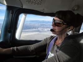
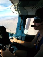
Melissa flying! |
| |
 |
 |
 |
|
| |
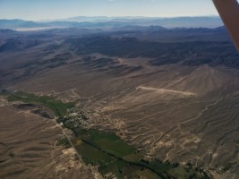
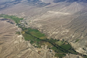
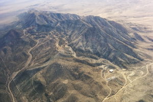
Alamo, NV airstrip - in the middle of nowhere, Nevada |
Alamo, NV |
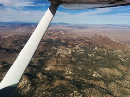
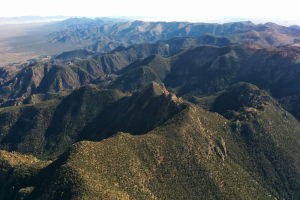
Mount Irish, 8743' |
| |
 |
 |
 |
|
| |
Some granite? Nearby Tonopah, NV |
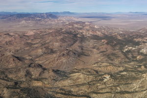
Kawich Range just east of Tonopah, Nevada (over 9000' peaks) |
Approaching Tonopah |
| |
 |
 |
 |
|
| |
Landing at Tonopah to stretch our legs |
Tonopah, happening place! |
|
| |
 |
 |
 |
|
| |
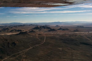
The small town of Tonopah |
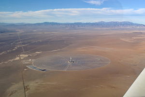
Another solar farm |
|
| |
 |
 |
 |
|
| |
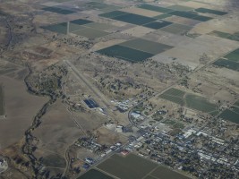
Yerington airport |
East shore of Lake Tahoe (and Marlette Lake on the top left) |
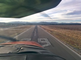
Home! |
Previous Page


